
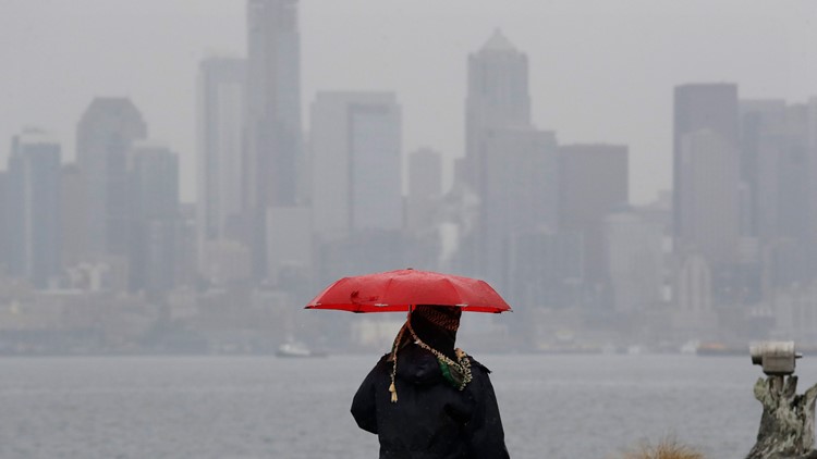
After days of freezing weather and snowfall, our transition back to normal January weather is underway in the Pacific Northwest.
Warmer air will send temperatures back into the upper 30s to low 40s on Friday. Snow levels will gradually move up to 1,000 feet.
See a timeline of what to expect the rest of the week:
Friday: A mix of rain and snow showers. The snow level is expected to reach 1,000 feet in the afternoon.
There is a chance of snow around the Hood Canal area Friday night into Saturday with accumulations of 1-3 inches possible. No accumulation expected below 1,000 feet.
Lows around 30. Highs in the mid 30s to near 40 degrees.
VIEW | Full forecast
Saturday: Another warm and wet system will move in on Saturday as rain with snow levels rising to 3,000 feet. It should be a rainy day. Lows in the mid to upper 30s. Highs in the low to mid-40s.
Sunday: A few rain showers and sunbreaks. Highs in the mid-40s.
Monday: Increasing rain. Highs in the mid to upper 40s.
Tuesday: Rain showers and sunbreaks. Highs in the mid to upper 40s.
Next Week: Looks wet off an on with highs in the mid-upper40s. Normal January weather!
VIEW: LIVE RADAR
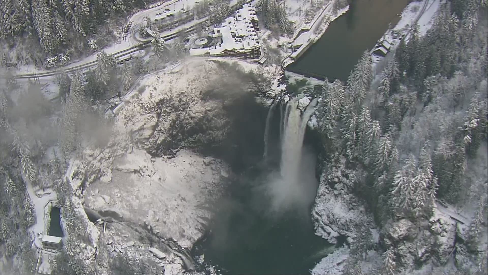
RELATED: Fly over snowy Snoqualmie Falls